Total Distance:- 18.95 Km (11.78 miles)
Ave Speed:- 3.34 Km/Hr (2.08 mph) [10.07 am – 15.47 pm]
Max height:- 193 m (633 ft)
Total ascent:- 359 m (11784 ft)
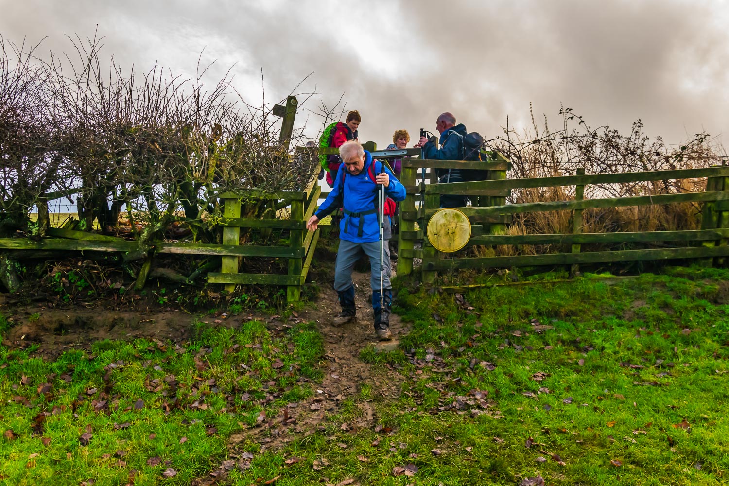
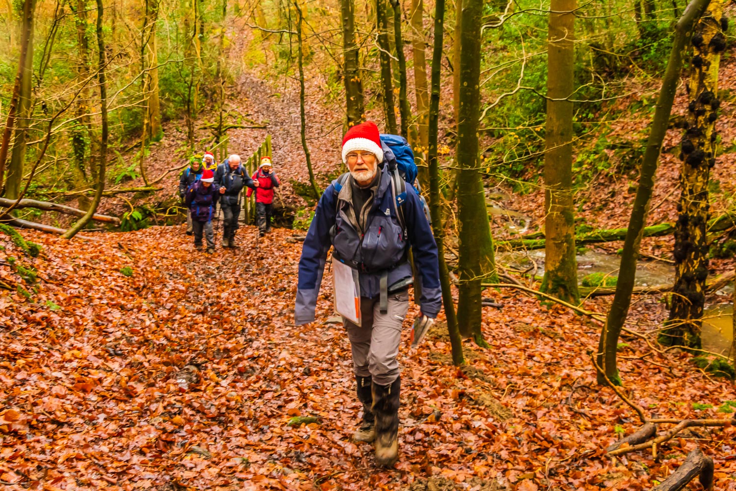
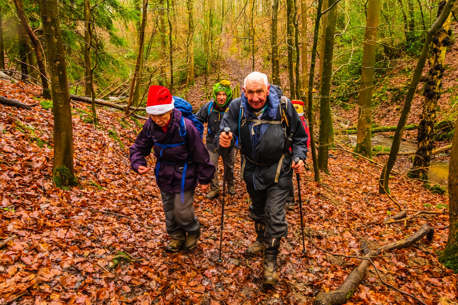
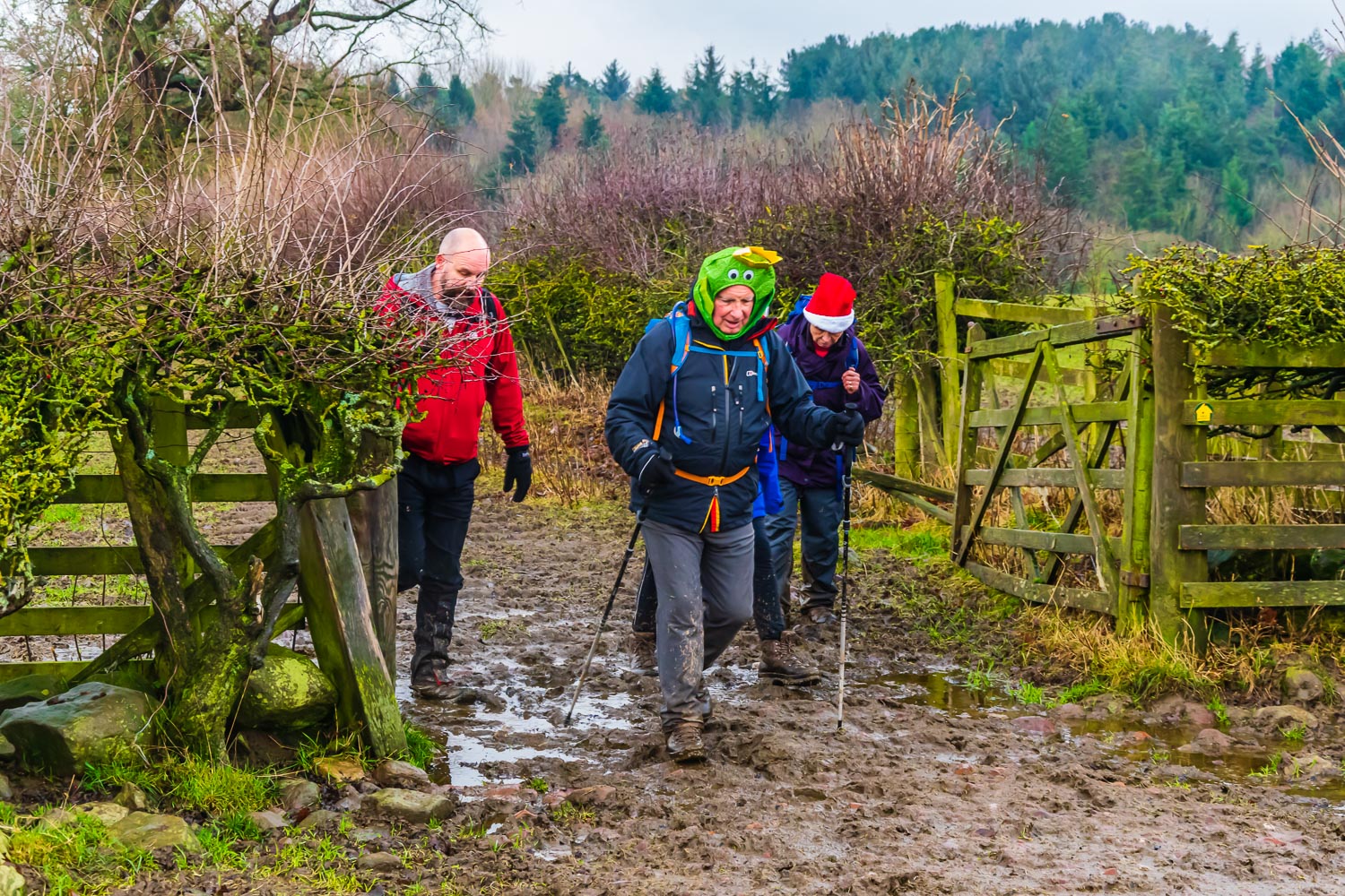
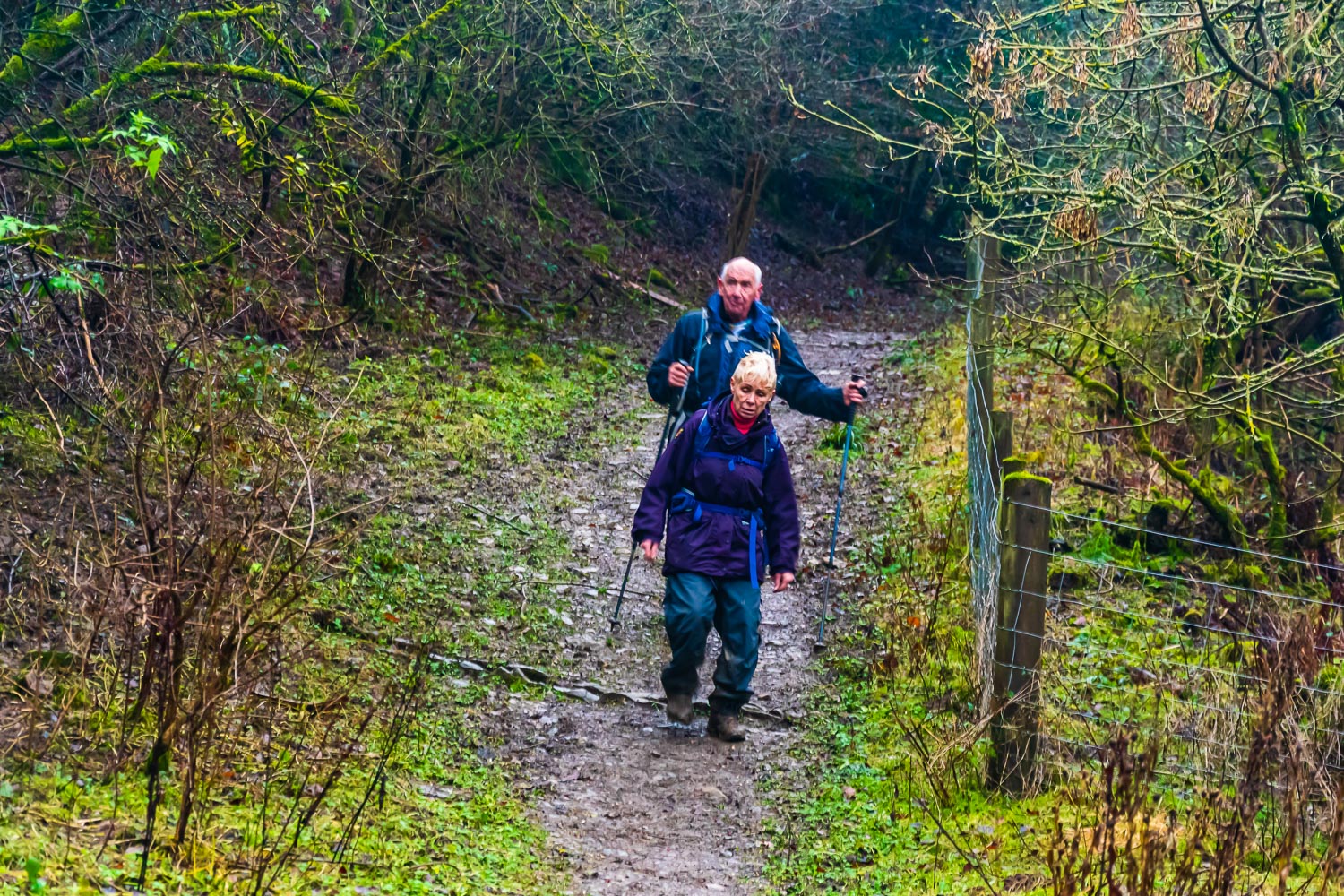
32 in joint group (led by Charles, Dave, Jeff), 8 in subsequent group led by Charles. There was a good selection of Christmas headgear including Moaty’s brussel sprout hat – trust him to think of food. Leaving the coaches at Skeeby Grange, the three combined groups headed SE initially along the road but then on a bridleway which was quite muddy. This was to be the order of the day, overcast sky, although dry until the last half hour, but mainly muddy underfoot. After another stretch southwards along a minor road, we eventually reached Brompton Bridge. By this time Angela’s daughter, Helen’s, ears must have been burning. After several years of Helen trying to persuade nurse Angela to have a flu jab, she had eventually relented the previous day and having had both flu and pneumonia jabs was complaining bitterly about her sore arm. However, we carried on, following the R Swale downstream past Brompton on Swale. Several comments were passed re the volume of water in the river and the speed at which it was flowing. “You would just have to go with the flow” was one comment. As we were walking on grass at this point, it was quite wet with mud in places. Reaching Catterick Br, we crossed the river via the old railway bridge. We saw Catterick racecourse and then headed west along the south bank of the river. On reaching Colburn most of us noticed that the pub was open but it seemed that the 3 leaders were oblivious to the fact and this is from the one leader who is tea-total. After crossing the Colburn Beck, the underfoot conditions became worse as we were walking across fairly wet grassy fields. It was also around this area that the frequency of stiles increased. Just before reaching Hagg Farm, the leaders decided to stop for lunch on a grassy bank dotted with muddy patches. With everyone having brought food to share around, we all had a good feed but we were pleased to get on the move again as the wind became stronger and colder. At this point, the 3 groups split up and Charles led his group past Hagg Farm and through part of Park Wood. Above Iron Banks, the mud became worse, particularly where there were gates or stiles. However the fact that we could see Richmond on the opposite bank of the river gave us hope. After passing Holly House we headed NW and down to Boggy Lane. Fortunately we were only on this lane for a very short distance as it lives up to its name. However, the path we took westwards to the south of Round Howe Wood was just as bad and by now Angie had become thoroughly miserable due to her painful arm compounded by having to walk thro mud and across stile after stile. By this time, dusk was starting to encroach so Charles decided to shorten the walk and we headed down towards the river and then took the higher footpath back eastwards towards Richmond Br. I guess the lower footpath across the rocks would have been under water. The rain had started at this point so we hurried across the bridge and up to the buses parked near the cricket ground.
Not one of Charles’ better walks but that was due to the conditions and I doubt if any of the leaders received much praise at the end of their walk.
To see the route (red line) click here
To see the photos, click on a photo and move forwards and backwards using the <> keys.